CHS has been concreated on control surveying since 1992, and CHS is the first, which introduces the GPS system for the building of national geodesic network in Taiwan. CHS is the only company that offers the measurement of benchmarks and processing of national leveling network. In addition, CHS is also the important one for the assistance of benchmark rebuilding after the serious disaster JiJi earthquake and typhoon Morakot in Taiwan.

| a. |
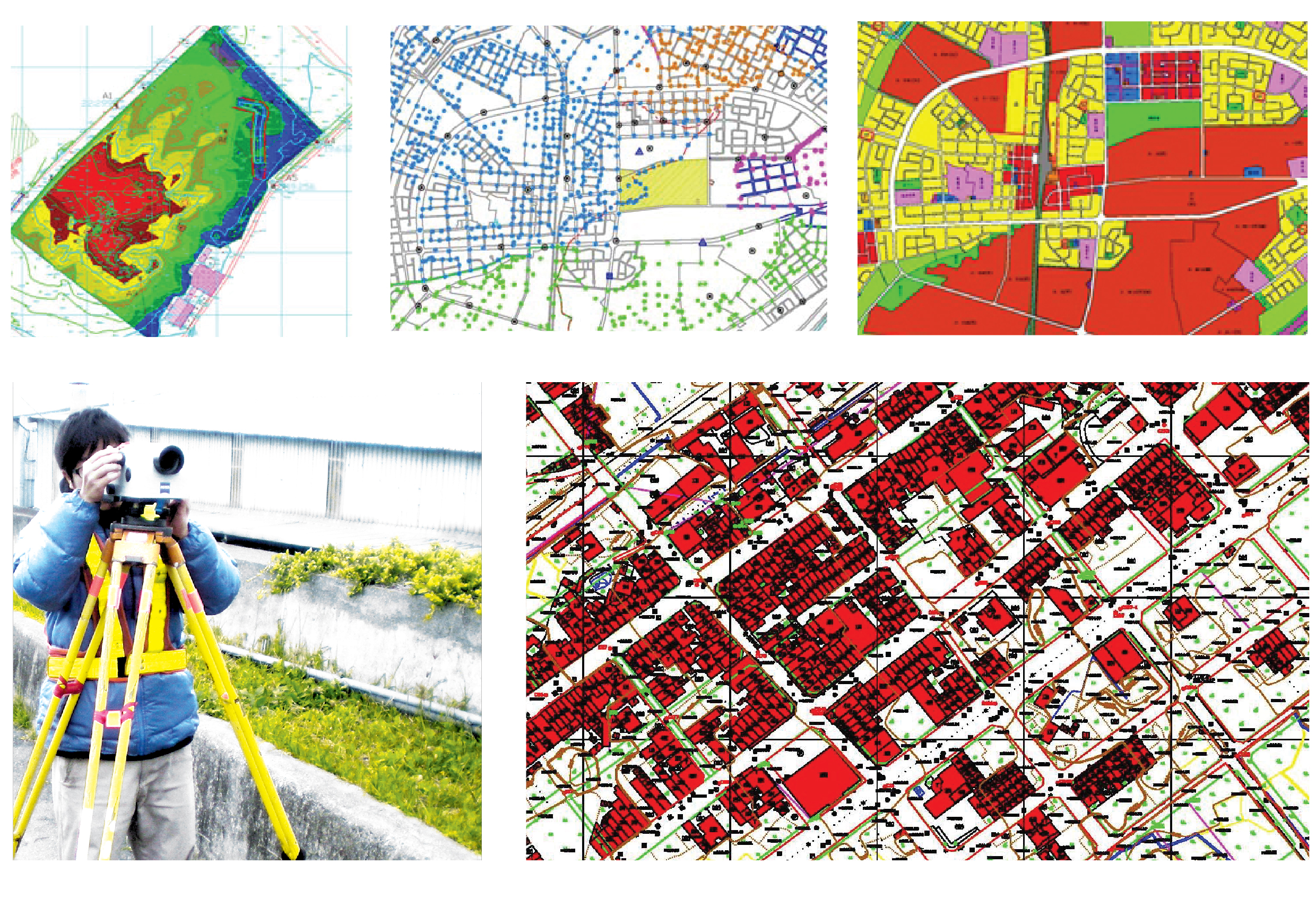
Urban planning |
| b. |
Digital terrain model generation |
| c. |
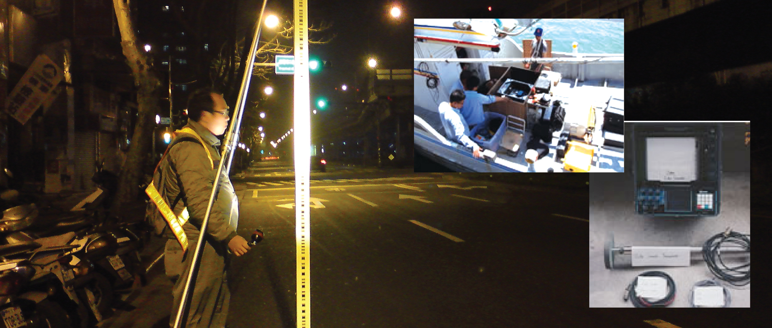
Hydrographic survey |
| d. |
Engineering application |
| e. |
Cadastral survey |
|